
LOCATION United States
Rolinda
Rolinda is a small unincorporated agricultural community in Fresno County, California, United States. It is located on the Southern Pacific Railroad 10 miles (16 km) west of downtown Fresno, at an elevation of 253 feet. It is located along State Route 180. Official U.S. Geological Survey coordinates for the community are 36°44′07″N 119°57′43″W. The community is in area code 559. It does not have its own ZIP code and mail uses the Fresno ZIP code of 93706.


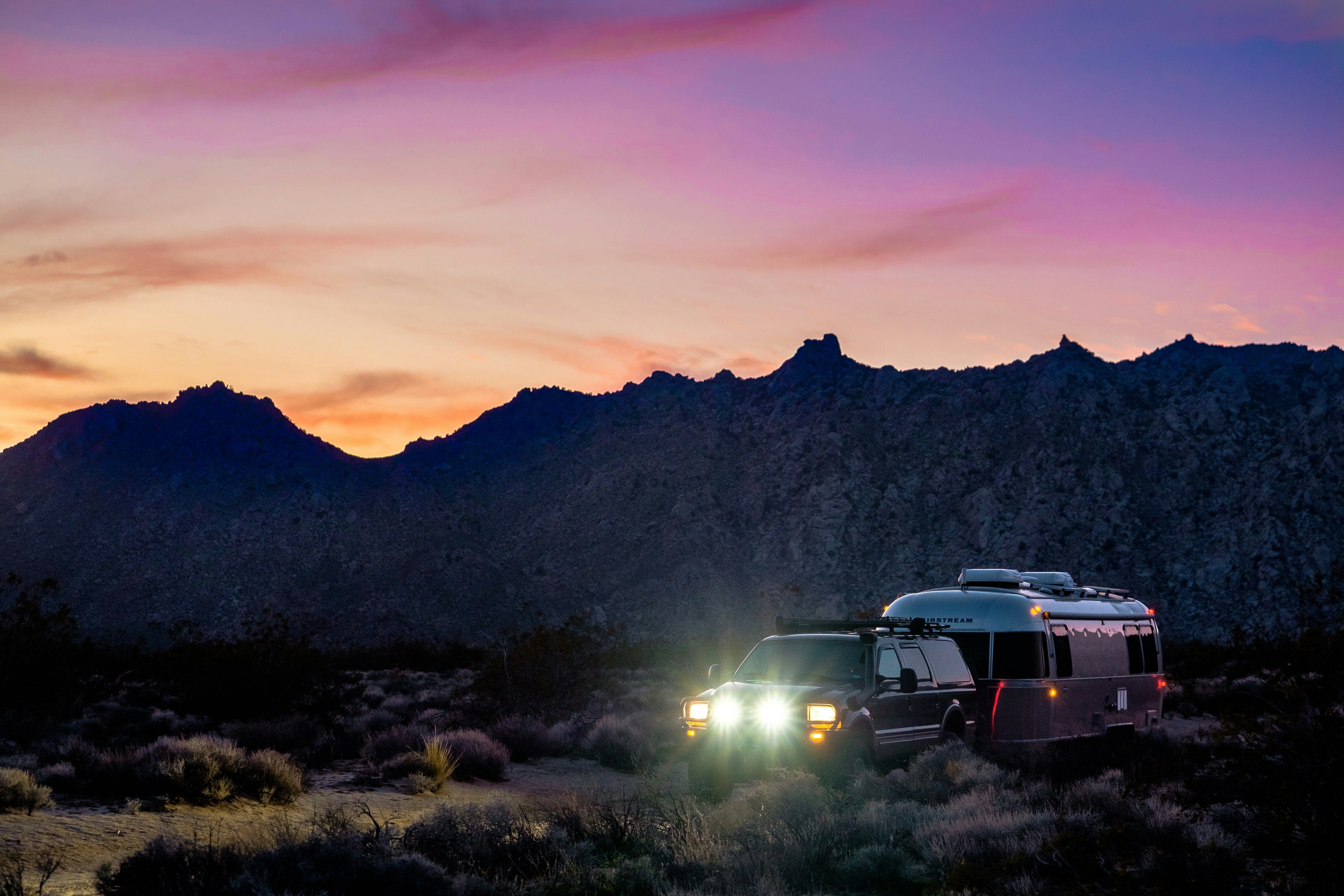
20 States, 20K Miles, 11 National Parks – and Counting!
Join full-time nomads Cristy Lee and Colan McGeehan, featured on Magnolia Network, WSJ, and NYT.
🌟 Follow Us:
✨ Roam free, and we hope to see you out there!